Maps
The Southern Virginia Wild Blueway is easy to access and fun to explore. Within minutes of getting on the water, you can find peaceful and unspoiled shoreline brimming with wildlife. More than 100 miles of navigable river, including 38 miles of designated Virginia Scenic River, are part of the Blueway. The Staunton (also known as the Roanoke River) and Dan Rivers merge before flowing into Kerr Lake.
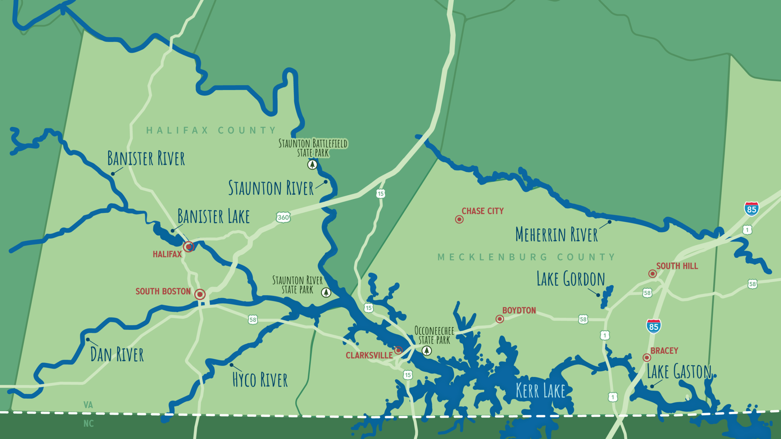
View Staunton River map
View Meherrin River map
View Kerr Lake and Lake Gaston map
View Kerr Lake and Lake Gaston map
View Banister River and Dan River map
View Banister River and Dan River map
View a helpful Google Map of each section of the blueway to guide you to access points on each river and the lakes.
- Meherrin River
- Kerr Lake and Lake Gaston
- Staunton River
- Dan River and Banister River